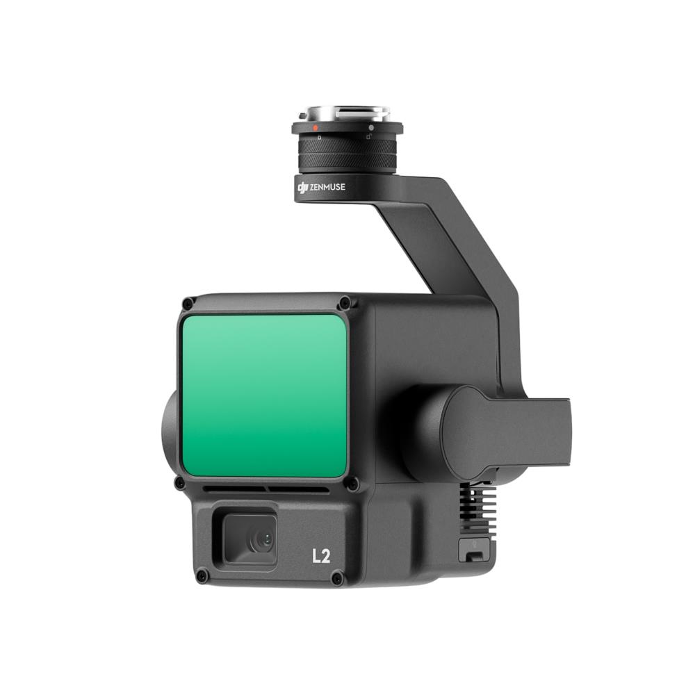
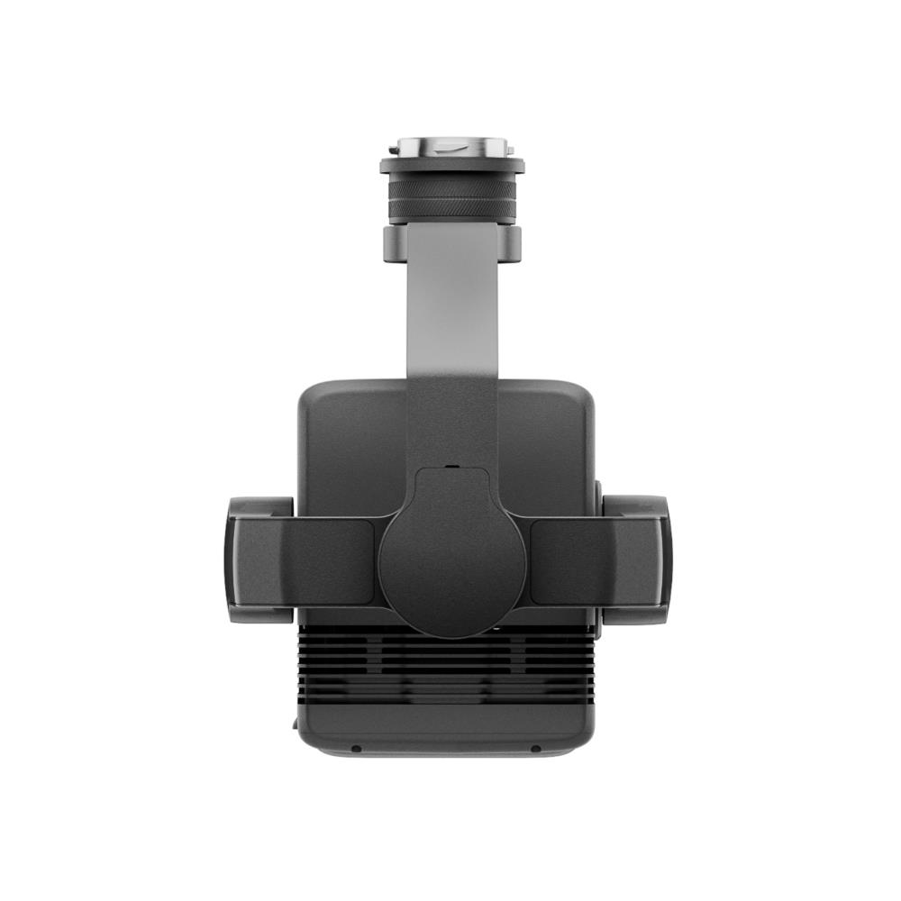
Αξεσουάρ Drone Dji Zenmuse L2 / Cp.En.00000505.02

| Installment plan | Amount / month |
|---|---|
| 2 | 9.808,68 € |
| 4 | 4.930,43 € |
| 6 | 3.304,40 € |
| 8 | 2.491,44 € |
| 10 | 2.003,70 € |
| 12 | 1.678,56 € |
| 18 | 1.136,80 € |
| 24 | 866,06 € |
| 36 | 595,59 € |

Συμπλήρωσε τα στοιχεία σου για να σε καλέσουμε άμεσα.
-
Pickup from the store:El. Ave. Venizelou 73 (formerly Theseos), Kallithea
-
Pick up from a BoxNow machine:With BoxNow you can pick up your parcel from an Automatic Pickup Machine that is near you at all hours of the day 24/7. Possibility of cash on delivery with an additional fee of €1
-
Shipping to your location (Calculate shipping):


Detailed Description
The DJI Zenmuse L2 is a state-of-the-art aerial LiDAR system, meticulously engineered for advanced geospatial data acquisition. It is ideal for industries such as land surveying, mapping, forestry, and infrastructure management.
This system combines frame LiDAR technology with a high-accuracy IMU system and a 4/3 CMOS RGB mapping camera to provide a complete solution for collecting 3D data efficiently.
Key Features:
- Compact Design: Dimensions of 155?128?176 mm and weighing just 905±5 grams.
- Environmental Protection: IP54 rating for dust and water resistance.
- High Performance: Detecting up to 500 meters under optimal conditions.
- High-speed Point Cloud Generation: Up to 1,200,000 points per second.
Additionally, real-time point cloud coloring enhances data visualization using reflectivity, height, distance, and RGB data. The systems Inertial Navigation further increases its reliability, providing precise positioning capabilities with minimal deviation.
Technical Specifications:
- IMU Update Frequency: 200 Hz
- Photo Sensor: 20 MP 4/3 CMOS
- Video Resolution: 4K at 30fps
- Data Storage: Supports microSD cards up to 256 GB
In conclusion, the DJI Zenmuse L2 is an invaluable tool for professionals seeking high-precision geospatial data acquisition.
Specifications
-
Dimensions
- 155?128?176 mm
-
Weight
- 905±5 grams
-
Power
- 28 W (typical), 58 W (maximum)
-
IP Rating
- IP54
-
Storage Temperature
- -20° to 60° C
-
Detection Range
- 500 meters
-
Point Cloud Rate (Single Return)
- 240,000 points per second
-
Point Cloud Rate (Multiple Returns)
- 1,200,000 points per second
-
Horizontal Accuracy
- 5 cm @ 150 meters
-
Vertical Accuracy
- 4 cm @ 150 meters
-
IMU Update Frequency
- 200 Hz
-
Accelerometer Range
- ±6 g
-
Angular Velocity Meter Range
- ±300 dps
-
Yaw Accuracy (Real-time)
- 0.2°
-
Yaw Accuracy (Post-processing)
- 0.05°
-
Pitch/Roll Accuracy (Real-time)
- 0.05°
-
Pitch/Roll Accuracy (Post-processing)
- 0.025°
-
Horizontal Positioning Accuracy
- RTK FIX: 1 cm + 1 ppm
-
Vertical Positioning Accuracy
- RTK FIX: 1.5 cm + 1 ppm
-
Camera Sensor
- 4/3 CMOS
-
Effective Pixels
- 20 MP
-
Lens FOV
- 84°
-
Lens Format Equivalent
- 24 mm
-
Lens Aperture
- f/2.8-f/11
-
Mechanical Shutter Speed
- 2-1/2000 s
-
Electronic Shutter Speed
- 2-1/8000 s
-
Photo Size
- 5280?3956 (4:3)
-
Video Codec
- H.264, H.265
-
4K Video Resolution
- 3840?2160 @30fps
-
FHD Video Resolution
- 1920?1080 @30fps
-
ISO Range (Video & Photo)
- 100-6400
-
4K Video Bitrate
- 85 Mbps
-
FHD Video Bitrate
- 30 Mbps
-
Supported File System
- exFAT
-
Photo Format
- JPEG/DNG (RAW)
-
Video Format
- MP4 (MPEG-4 AVC/H.264 or HEVC/H.265)
Άμεσα Διαθέσιμα